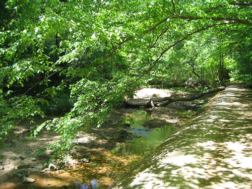
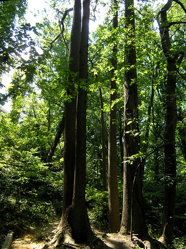
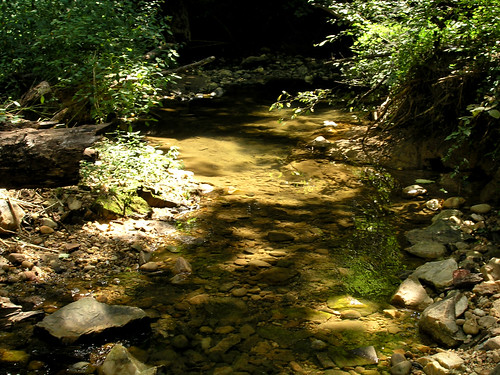
 Glover-Archbold (not Archibold, nor Archibald, I've just discovered) is a long, narrow park that follows Foundry Branch from Van Ness Street in Tenleytown to Canal Road, just west of Georgetown University. It's yet another green oasis in the middle of our fair city -- and less well-known than many other parks. And with its proximity to Georgetown, you may get in some celebrity sightings as well -- I once saw Madeline Albright hiking here with her Secret Service detail.
According to folks at the DC Audubon Society, the most interesting birding section of Glover-Archbold is just north of Reservoir Road -- perhaps because the stretch between here and Fulton St. is the widest section of the park.
 There are several points in the park that are easily accessible by public transportation. You can follow along on this Park Service map, which covers both Rock Creek Park and Glover Archbold. From north to south:
Van Ness Street: From Tenleytown Metro station, head south on Wisconsin, then go right on Van Ness St. You'll be at the north end of the park.
Massachusetts Ave and Cathedral Ave: The N6 runs between Dupont Circle and Friendship Heights. Get off at Massachusetts and Macomb, then walk up Massachusetts to where the trail crosses the road. Or get off on Cathedral Ave. as it crosses the park.
Reservoir Road: The D6 from Farragut West and Dupont Circle runs along Reservoir Road and stop near the entrance to the park.
Canal Road: After crossing the park on Reservoir Road, the D6 heads south on Foxhall Road and stops at the intersection with MacArthur Blvd. You'll walk a short distance southeast as Foxhall merges into Canal Road; the trail is on the north side of Canal Road.
 From the south end of the park (or any other spot you choose along the route, really) you can make a 6 mile loop: go north into the park, then head west over to Palisades/Battery Kemble Park via the greenway between Edmunds St. and Fulton St., then head south to the canal, and southeast along the canal back to the bottom of Glover-Archbold.
Bikes: The trails through the park are marked on the Park Service map as foot trails only.
Dogs: Allowed. Please scoop your poop.
Like the photo in this post? Mouse over for credits; a click takes you to the photographer on Flickr.

